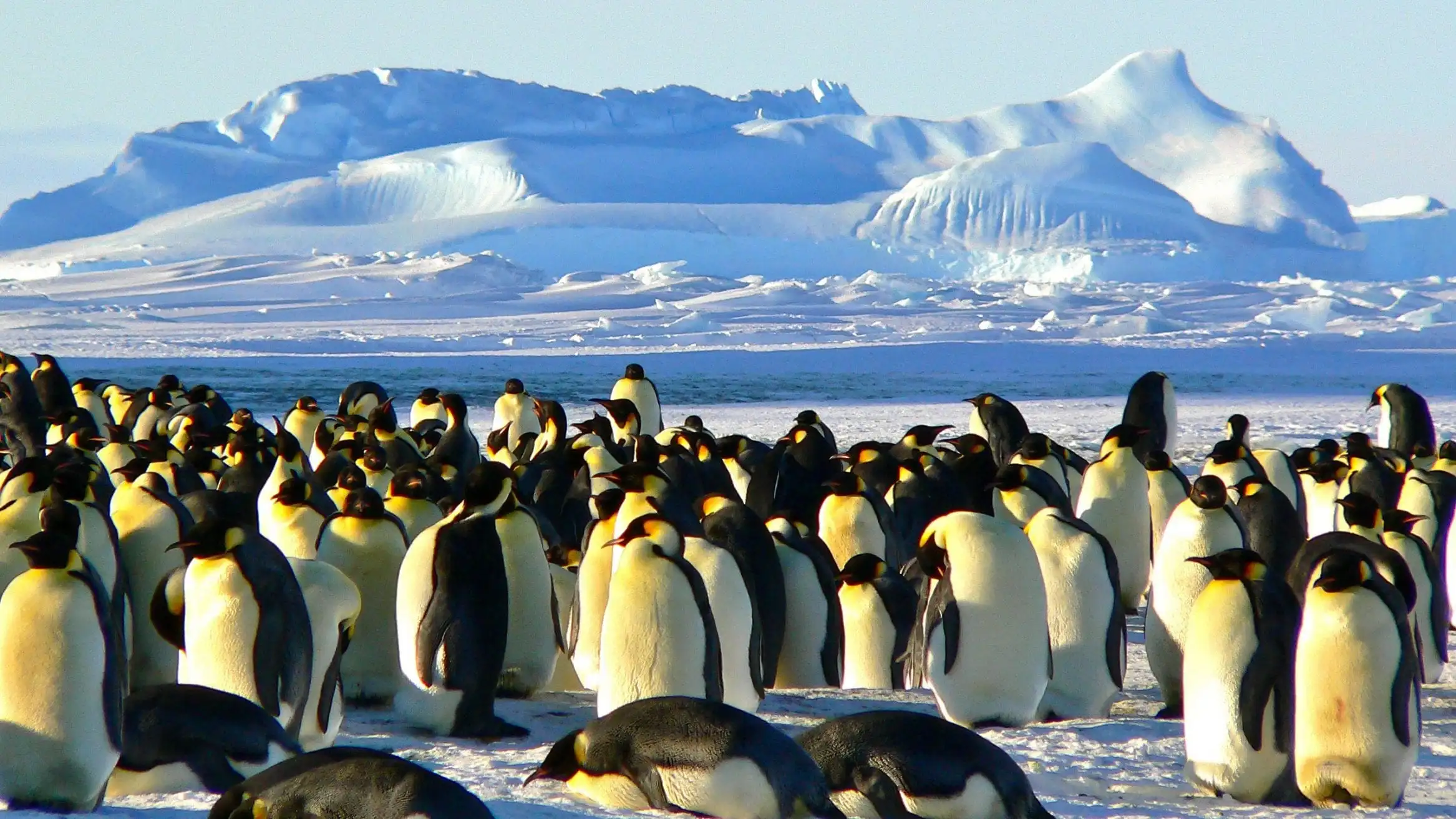
Antarctica’s remote and harsh environment has long challenged researchers trying to monitor the region’s wildlife, especially penguin colonies, which are crucial indicators of environmental health. However, a groundbreaking application of artificial intelligence (AI) is now making this task more accessible and accurate. Leveraging tourist photos and advanced AI tools, scientists can create precise 3D maps of penguin colonies across the continent. This novel approach offers an exciting glimpse into the future of wildlife conservation and raises intriguing questions about the role of tourism in environmental research.
How AI Is Transforming Penguin Conservation
Artificial intelligence is revolutionizing traditional research methods in ecology by enabling efficient, large-scale data analysis. In Antarctica, where conditions limit extended fieldwork, AI-driven tools are proving invaluable. Haoyu Wu and Heather Lynch, researchers from Stony Brook University, have pioneered a technique that uses AI to analyze photographs of Adélie penguins taken by tourists and scientists. The results not only speed up the monitoring process but also enable researchers to map and track penguin colonies with unprecedented accuracy.
AI’s role in conservation is expanding globally, and Antarctica is no exception. For instance, Lynch highlights the massive potential of this method, stating, “Everyone has a camera in their pocket, and so the sheer volume of data being collected around the world is incredible.” By tapping into this wealth of images, researchers are able to cover vast areas and monitor wildlife health more efficiently.
How AI Works in Identifying Penguin Colonies
Wu and Lynch’s team utilized an AI tool developed by Meta, specifically designed to recognize and highlight Adélie penguins in images. The tool operates with semi-automation, requiring only minimal guidance from human experts, allowing it to outline entire penguin colonies in photographs. While a human researcher might need up to two minutes to analyze a single image, the AI tool takes just five to ten seconds, significantly accelerating data processing.
This rapid image analysis allows researchers to create a comprehensive visual record of penguin colonies over time, enabling real-time monitoring of population trends and potential threats. Researchers further enhance these visuals with a 3D digital model of the Antarctic landscape, derived from satellite imagery and terrain elevation data. By cross-referencing details in the tourist photos with the 3D model, scientists can accurately pinpoint each colony’s location within the Antarctic terrain, creating a dynamic, precise map of penguin populations.
The Debate on Tourism’s Role in Antarctic Research
Despite AI’s potential, the use of tourist photos for scientific research is not without controversy. While tourism offers a substantial data resource, its environmental impact is a growing concern. Antarctica’s fragile ecosystems can be vulnerable to human activities, and increased tourism may inadvertently disrupt the very species researchers are trying to protect. Some scientists argue that restricting tourism would better serve conservation efforts, while others see managed tourism as a balanced approach that both preserves the ecosystem and provides valuable resources for research.
Heather Lynch, one of the researchers involved, suggests that properly guided tourism could serve as a sustainable model, one that allows for data collection without compromising the ecosystem. Controlled and regulated tourism might offer a middle ground, enabling scientists to tap into tourist-generated data while minimizing ecological disturbance.
Practical Applications and Future Prospects
Beyond Antarctica, the implications of this research are vast. Using AI to analyze photographs could serve as a model for wildlife conservation efforts worldwide, particularly in remote or endangered ecosystems where monitoring is difficult. For example, AI-driven photo analysis could help scientists monitor endangered species like gorillas in Central Africa or snow leopards in Central Asia.
As AI technology advances, these tools will likely become more sophisticated, capable of analyzing larger datasets and identifying patterns that may not be visible to the human eye. This innovation can potentially redefine ecological research, providing scientists with a real-time, on-demand understanding of wildlife populations and environmental shifts.
The Road Ahead for AI and Conservation
The success of AI-driven conservation efforts in Antarctica underscores the technology’s transformative potential. By harnessing vast quantities of data from sources like tourist photos, researchers are able to obtain insights and identify trends faster than ever before, providing crucial support for conservation in some of the world’s most fragile environments. However, the broader adoption of this approach will depend on finding a balance between technology, human involvement, and environmental responsibility.
Conclusion
Artificial intelligence, combined with the efforts of citizen tourists, has opened new avenues for wildlife monitoring and conservation in Antarctica. This collaborative approach not only enhances the accuracy of population tracking for species like Adélie penguins but also sheds light on how technology can intersect with conservation in remote areas. The ongoing debate on tourism’s role in scientific research will be essential in shaping future policies, as scientists and conservationists alike explore ways to protect these precious ecosystems.
For More Updates: Artificial Intelligence


